La carta della densità della popolazione della Lombardia di Carlo Cattaneo
Titolo Rivista STORIA URBANA
Autori/Curatori Lucio Gambi
Anno di pubblicazione 1 Fascicolo 2000/93 Lingua Italiano
Numero pagine 4 P. Dimensione file 29 KB
DOI
Il DOI è il codice a barre della proprietà intellettuale: per saperne di più
clicca qui
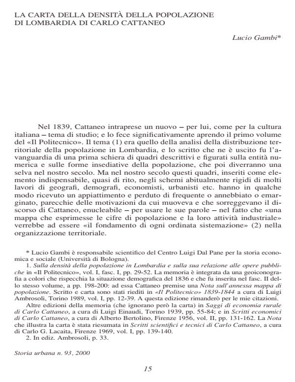
Qui sotto puoi vedere in anteprima la prima pagina di questo articolo.
Se questo articolo ti interessa, lo puoi acquistare (e scaricare in formato pdf) seguendo le facili indicazioni per acquistare il download credit. Acquista Download Credits per scaricare questo Articolo in formato PDF

FrancoAngeli è membro della Publishers International Linking Association, Inc (PILA)associazione indipendente e non profit per facilitare (attraverso i servizi tecnologici implementati da CrossRef.org) l’accesso degli studiosi ai contenuti digitali nelle pubblicazioni professionali e scientifiche
In 1839, Carlo Cattaneo published the first map illustrating the territorial distribution of the population in an Italian region (Lombardy). His publication was the first of a series of descriptive and illustrated records dealing with the numerical entity and the forms of population settlements. The aim of his survey was to clarify «the roots of the diversified density of our population». What results from the study of these settlements is that communities living side by side are actually more stimulated to develop than those in which the population is more scattered and widespread. But the greater the density of the population amassed in large agglomerations of buildings, the greater the need to rationalize territorial organization and to establish limits to offset the pressure exercised by this accumulation. For this purpose, a map illustrating population density is the first tool required when drafting any territorial project.;
Lucio Gambi, La carta della densità della popolazione della Lombardia di Carlo Cattaneo in "STORIA URBANA " 93/2000, pp , DOI: