Tools for holistic and shareable knowledge. The experience of the Map Kibera Project
Journal title TERRITORIO
Author/s Stefano Marras
Publishing Year 2012 Issue 2012/61
Language Italian Pages 5 P. 110-114 File size 1213 KB
DOI 10.3280/TR2012-061019
DOI is like a bar code for intellectual property: to have more infomation
click here
Below, you can see the article first page
If you want to buy this article in PDF format, you can do it, following the instructions to buy download credits

FrancoAngeli is member of Publishers International Linking Association, Inc (PILA), a not-for-profit association which run the CrossRef service enabling links to and from online scholarly content.
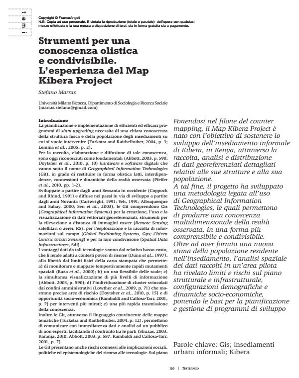
Part of the concept of counter-mapping, the Map Kibera Project was born with the objective of supporting the development of the informal settlement of Kibera, Kenya, through the collection, analysis and distribution of detailed geo-referenced data relative to its structures and population. To this end, the project has developed a methodology tied to the use of geographical information technologies, which allow the production of multi-dimensional knowledge of the observed situation in a more comprehensible form that can also be shared. In addition to supplying a new estimate of the resident population in the settlement, spatial analysis of the data collected in a pilot area has revealed limits and risks on the structural and infrastructural levels, demographic configurations and socio-economic dynamics, creating the bases for planning and managing development programs.
Keywords: Gis; informal urban settlements; Kibera
- Public Drinking Venues as Risk Environments: Commercial Sex, Alcohol and Violence in a Large Informal Settlement in Nairobi, Kenya Eric Abella Roth, Cecilia Benoit, Mikael Jansson, Helga Hallsgrimdottir, in Human Ecology /2017 pp.277
DOI: 10.1007/s10745-017-9897-2 - A novel cost estimation model for the urban regeneration of a slum: the case of Kibera (Nairobi) Antonio Nesticò, Federica Russo, Gabriella Maselli, Michele Vietri, in Frontiers in Sustainable Cities 1544486/2025
DOI: 10.3389/frsc.2025.1544486
Stefano Marras, Strumenti per una conoscenza olistica e condivisibile. L’esperienza del Map Kibera Project in "TERRITORIO" 61/2012, pp 110-114, DOI: 10.3280/TR2012-061019