In search of a spatial reconfiguration. Cartographical readings of revolutionary and Napoleonic Italy
Journal title SOCIETÀ E STORIA
Author/s Jean Boutier
Publishing Year 2015 Issue 2014/146
Language Italian Pages 5 P. 699-703 File size 24 KB
DOI 10.3280/SS2014-146004
DOI is like a bar code for intellectual property: to have more infomation
click here
Below, you can see the article first page
If you want to buy this article in PDF format, you can do it, following the instructions to buy download credits

FrancoAngeli is member of Publishers International Linking Association, Inc (PILA), a not-for-profit association which run the CrossRef service enabling links to and from online scholarly content.
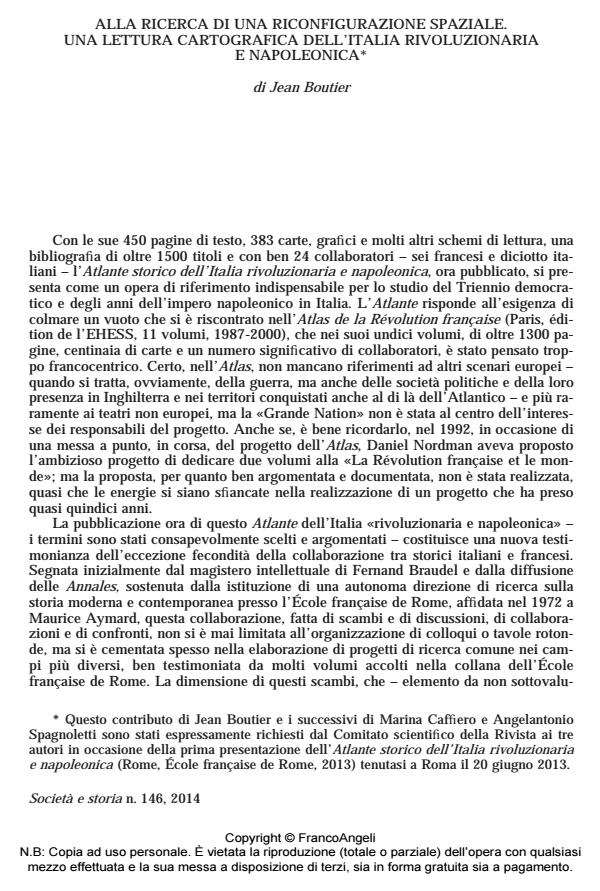
This historical atlas of Italy, the result of a nearly unprecedented Franco-Italian collaboration based on the large number of studies of the last decades, shows the administrative and political changes experienced by the peninsula between the 1790s and the 1820s,. It presents the Revolutionary and Napoleonic years as a key-moment in the construction of an Italian identity, a process inseparable from the nationalization of the peninsula.
Keywords: Historiographical cartography; Revolutionary and Napoleonic Italy; transnational historiography; territorialization
- Quale storia della società? Uno sguardo sull'epoca moderna Paola Bianchi, in SOCIETÀ E STORIA 178/2023 pp.711
DOI: 10.3280/SS2022-178005
Jean Boutier, Alla ricerca di una riconfigurazione spaziale. Una lettura cartografica dell’italia rivoluzionaria e napoleonica in "SOCIETÀ E STORIA " 146/2014, pp 699-703, DOI: 10.3280/SS2014-146004