Metodologia per l'identificazione, inventariazione e monitoraggio delle zone agricole urbane e periurbane in Gambia: tendenze e caratteristiche dell'espansione urbana
Titolo Rivista STORIA URBANA
Autori/Curatori Paolo Sarfatti, Keti Lelo, Stanley Adams
Anno di pubblicazione 2003 Fascicolo 2002/98-99
Lingua Italiano Numero pagine 10 P. Dimensione file 40 KB
DOI
Il DOI è il codice a barre della proprietà intellettuale: per saperne di più
clicca qui
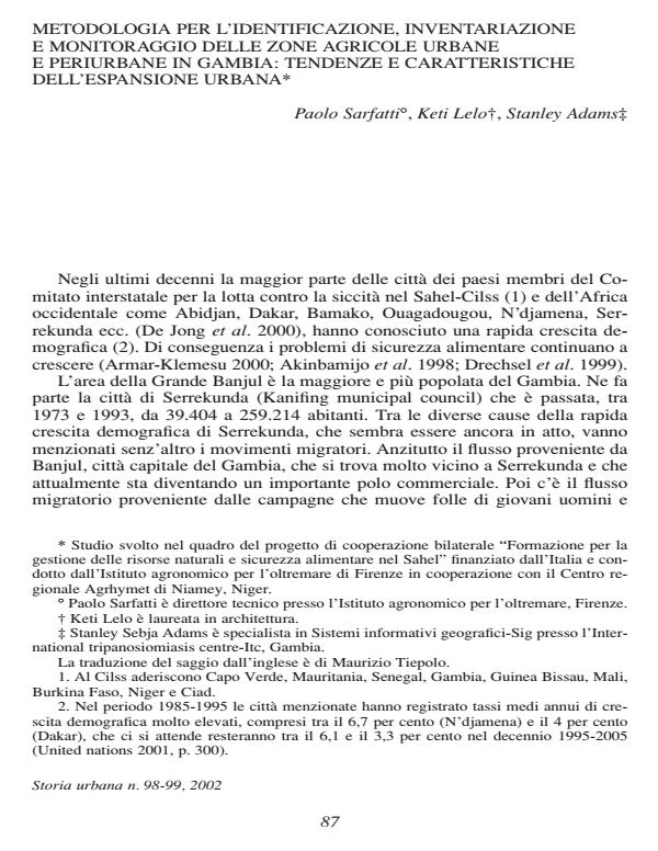
Qui sotto puoi vedere in anteprima la prima pagina di questo articolo.
Se questo articolo ti interessa, lo puoi acquistare (e scaricare in formato pdf) seguendo le facili indicazioni per acquistare il download credit. Acquista Download Credits per scaricare questo Articolo in formato PDF

FrancoAngeli è membro della Publishers International Linking Association, Inc (PILA)associazione indipendente e non profit per facilitare (attraverso i servizi tecnologici implementati da CrossRef.org) l’accesso degli studiosi ai contenuti digitali nelle pubblicazioni professionali e scientifiche
Urban and peri-urban agriculture plays an increasing role in supplying towns with food supplies and provides the urban populations involved with the major part of their income from sources such as market garden crops, small-scale livestock rearing, poultry farming, fish farming, agro-forestry and associated post-harvest operations, etc., located within and around the urban area. Although such a location ensures easy access to services and markets, it is also a source of pressure on resources, while the cohabitation of town-dwellers, growers and livestock farmers often leads to conflict. Though urban and peri-urban agriculture remains unchanged and cannot be stopped, it is essential to note that the main challenge faced by the authorities is managing peri-urban areas in order to improve urban sustainability, enhance the urban food system, especially as regards food security; and minimize conflicts between agriculture and other land cover/land use activities. This paper describes a methodology for the identification, inventorying and monitoring of urban and peri-urban agricultural zones in The Gambia, based on a spatial-temporal analysis using Remote Sensing and GIS (Geographic Information System) techniques. The purpose of this document is to illustrate how GIS applications can be utilized to assist decision making and share existing experience in the promotion and development of urban and peri-urban agriculture.
Paolo Sarfatti, Keti Lelo, Stanley Adams, Metodologia per l'identificazione, inventariazione e monitoraggio delle zone agricole urbane e periurbane in Gambia: tendenze e caratteristiche dell'espansione urbana in "STORIA URBANA " 98-99/2002, pp , DOI: