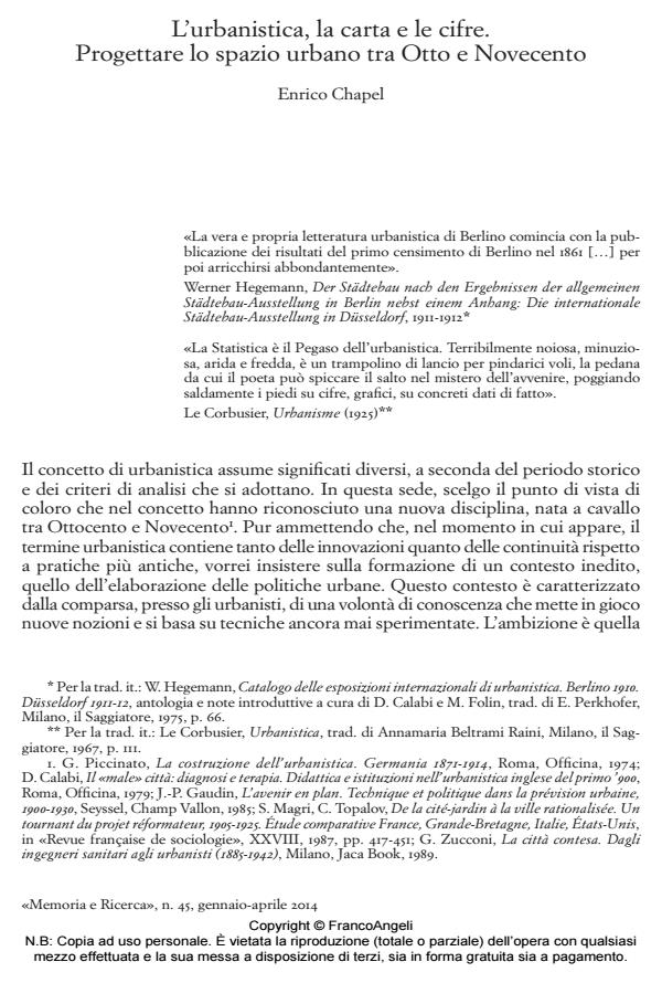
City planning, map and numbers. Urban space in project between 19th and 20th centuries
Journal title MEMORIA E RICERCA
Author/s Enrico Chapel
Publishing Year 2014 Issue 2014/45
Language Italian Pages 22 P. 29-50 File size 456 KB
DOI 10.3280/MER2014-045003
DOI is like a bar code for intellectual property: to have more infomation
click here
Below, you can see the article first page
If you want to buy this article in PDF format, you can do it, following the instructions to buy download credits

FrancoAngeli is member of Publishers International Linking Association, Inc (PILA), a not-for-profit association which run the CrossRef service enabling links to and from online scholarly content.
At the time of more and more perfect measure and representation of the territory follows trivialization and proliferation of plans. In Nineteenth century appear Atlases that dissect the image of the city, and statistical mapping that allows to represent structural dimensions of the urban phenomenon: population density, hygiene and functionality of spaces, services allocation, traffic flows, etc. The paper aims to show that urban planning was born during this process of cartographic production and statistical measurement of urban context. This course introduce a new form of urban design which records concepts such «standard» and «prediction» in the iconic order of planning. To what extent accumulation of maps and numbers in the Nineteenth and Twentieth century gave rise to modern urban project?
Keywords: Cartography, City planning, Statistics, Measure, City, Plan
Enrico Chapel, L’urbanistica, la carta e le cifre. Progettare lo spazio urbano tra Otto e Novecento in "MEMORIA E RICERCA " 45/2014, pp 29-50, DOI: 10.3280/MER2014-045003