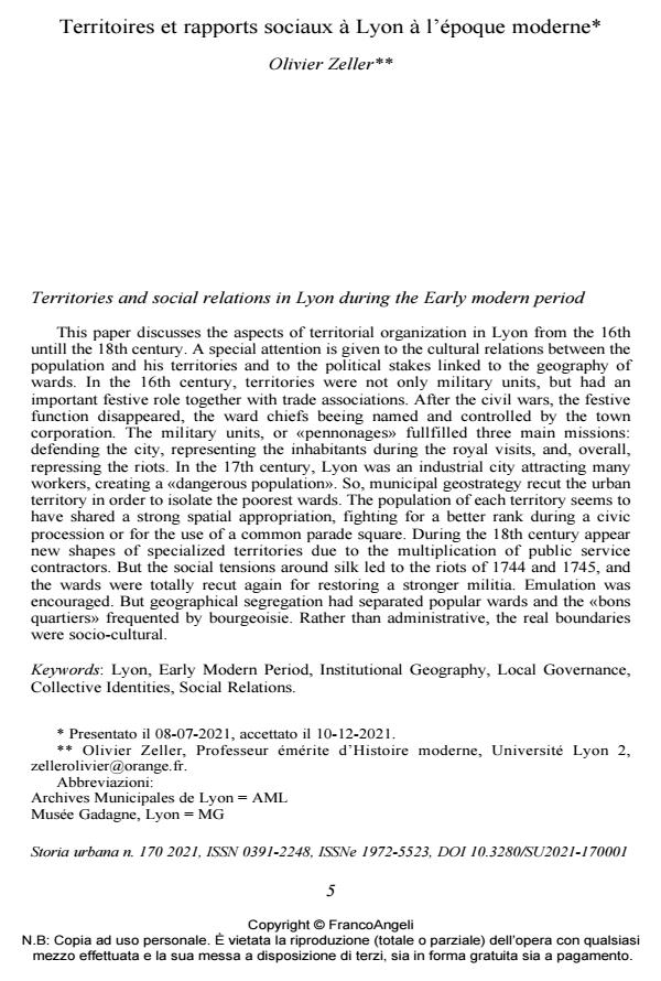
Territories and social relations in Lyon during the Early modern period
Journal title STORIA URBANA
Author/s Olivier Zeller
Publishing Year 2021 Issue 2021/170
Language French Pages 21 P. 5-25 File size 349 KB
DOI 10.3280/SU2021-170001
DOI is like a bar code for intellectual property: to have more infomation
click here
Below, you can see the article first page
If you want to buy this article in PDF format, you can do it, following the instructions to buy download credits

FrancoAngeli is member of Publishers International Linking Association, Inc (PILA), a not-for-profit association which run the CrossRef service enabling links to and from online scholarly content.
This paper discusses the aspects of territorial organization in Lyon from the 16thuntill the 18th century. A special attention is given to the cultural relations between thepopulation and his territories and to the political stakes linked to the geography ofwards. In the 16th century, territories were not only military units, but had animportant festive role together with trade associations. After the civil wars, the festivefunction disappeared, the ward chiefs beeing named and controlled by the towncorporation. The military units, or «pennonages» fullfilled three main missions:defending the city, representing the inhabitants during the royal visits, and, overall,repressing the riots. In the 17th century, Lyon was an industrial city attracting manyworkers, creating a «dangerous population». So, municipal geostrategy recut the urbanterritory in order to isolate the poorest wards. The population of each territory seems tohave shared a strong spatial appropriation, fighting for a better rank during a civicprocession or for the use of a common parade square. During the 18th century appearnew shapes of specialized territories due to the multiplication of public servicecontractors. But the social tensions around silk led to the riots of 1744 and 1745, andthe wards were totally recut again for restoring a stronger militia. Emulation wasencouraged. But geographical segregation had separated popular wards and the «bonsquartiers» frequented by bourgeoisie. Rather than administrative, the real boundarieswere socio-cultural.
L’articolo prende in esame l’organizzazione territoriale di Lione tra XVI e XVIII secolo. Particolare attenzione è stata riservata ai rapporti tra la popolazione e le istanze politiche legate alla geografia dei quartieri. Nel XVI secolo, questi complessi svolgevano anche un importante ruolo di sociabilità urbana. Dopo i conflitti religiosi, i capi rione iniziarono a essere nominati e controllati dalle autorità urbane. I reparti militari, o «pennonages», svolgevano tre funzioni principali: difendere la città, rappresentare gli abitanti durante le visite reali e, soprattutto, reprimere i disordini. Nel XVII secolo Lione era una città industriale che attraeva molti lavoratori, crean- do una "popolazione pericolosa". La geostrategia comunale tese a dividere il territorio urbano per isolare i quartieri più poveri. La popolazione di ogni quartiere manifestava la tendenza a una forte appropriazione spaziale, specialmente durante lo svolgimento dei cortei civici e delle solennità pubbliche. Nel corso del XVIII secolo emersero nuo- ve forme di gerarchizzazione del territorio. Le tensioni sociali, sorte intorno alla pro- duzione della seta, portarono alle rivolte del 1744 e del 1745: i quartieri furono nuova- mente suddivisi per un maggiore controllo. La segregazione geografica aveva operato una separazione tra i quartieri popolari e i «bons quartiers» frequentati dalla borghesia. Piuttosto che amministrativi, i reali confini erano socio-culturali.
Keywords: Lyon, Early Modern Period, Institutional Geography, Local Governance,Collective Identities, Social Relations.
Olivier Zeller, Territoires et rapports sociaux à Lyon à l’époque moderne in "STORIA URBANA " 170/2021, pp 5-25, DOI: 10.3280/SU2021-170001