Co-mapping e GIS: codificare il racconto dello spazio

Titolo Rivista ARCHIVIO DI STUDI URBANI E REGIONALI
Autori/Curatori Barbara Dovarch, Loredana Francesca Tedeschi
Anno di pubblicazione 2019 Fascicolo 2019/125
Lingua Italiano Numero pagine 26 P. 68-93 Dimensione file 361 KB
DOI 10.3280/ASUR2019-125004
Il DOI è il codice a barre della proprietà intellettuale: per saperne di più clicca qui

Qui sotto puoi vedere in anteprima la prima pagina di questo articolo.

Se questo articolo ti interessa, lo puoi acquistare (e scaricare in formato pdf) seguendo le facili indicazioni per acquistare il download credit. Acquista Download Credits per scaricare questo Articolo in formato PDF
Anteprima articolo

FrancoAngeli è membro della Publishers International Linking Association, Inc (PILA)associazione indipendente e non profit per facilitare (attraverso i servizi tecnologici implementati da CrossRef.org) l’accesso degli studiosi ai contenuti digitali nelle pubblicazioni professionali e scientifiche

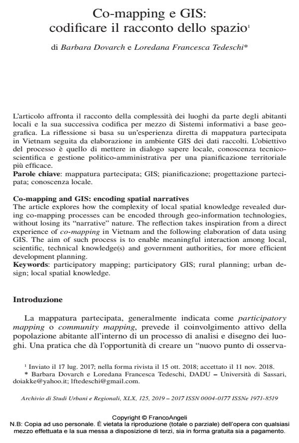
L’articolo affronta il racconto della complessità dei luoghi da parte degli abitanti locali e la sua successiva codifica per mezzo di Sistemi informativi a base geografica. La riflessione si basa su un’esperienza diretta di mappatura partecipata in Vietnam seguita da elaborazione in ambiente GIS dei dati raccolti. L’obiettivo del processo è quello di mettere in dialogo sapere locale, conoscenza tecnicoscientifica e gestione politico-amministrativa per una pianificazione territoriale più efficace.;

Keywords:Mappatura partecipata; GIS; pianificazione; progettazione partecipata; conoscenza locale.

  1. Abbott J. (2003). The use of GIS in informal settlement upgrading: its role and impact on the community and on local government. Habitat International, 27(4): 575-593. DOI: 10.1016/S0197-3975(03)00006-
  2. Amadio G. (2012). Introduzione alla Geomatica. Palemo: Flaccovio Editore.
  3. Archer D., Luansang C. and Boonmahathanakorn S. (2012). Facilitating Community Mapping and Planning for Citywide Upgrading: The Role of Community Architects. Environment and Urbanization, 24(1): 115-29. DOI: 10.1177/095624781243713
  4. Battersby S.E., Finn M.P., Usery E.L. and Yamamoto K.H. (2014). Implications of Web Mercator and Its Use in Online Mapping. Cartographica: The International Journal for Geographic Information and Geovisualization, 49(2): 85-101.
  5. CAN (2013). Community Mapping for Housing by People. London: ACHR-CAN.
  6. Chambers R. (1994). The Origins and Practice of Participatory Rural Appraisal. World Development, 22(7): 953-969. DOI: 10.1016/0305-750X(94)90141-
  7. Chambers R. (2006). Participatory mapping and geographic information systems: whose map? Who is empowered and who disempowered? Who gains and who loses?. The Electronic Journal of Information Systems in Developing Countries, 25(2): 1-11.
  8. Cinderby S., Snell C.J. and Forrester J.M. (2014). Participatory GIS and its application in governance: the example of air quality and the implications for noise pollution. Local Environment: The International Journal of Justice and Sustainability, nov.: 37-41. DOI: 10.1080/1354983070180326
  9. Dodge M. and Kitchin R. (2007). Rethinking Maps. Progress in Human Geography, 31(3): 331-344.
  10. Dunn C.E. (2007). Participatory GIS: a people’s GIS? Progress in Human Geography, 31(616). DOI: 10.1177/030913250708149
  11. ESRC (2008). Participatory Mapping: An Innovative Sociological Method (edited by Nick Emmel from University of Leeds with University of Manchester). Southampton: ESRC National Centre for Research Methods.
  12. Fals-Borda O. (1987). The Application of Participatory Action-Research in Latin America. International Sociology, 2(4): 329-47.
  13. Farinelli F. (2003). Geografia. Un’introduzione ai modelli del mondo. Torino: Einaudi.
  14. Farinelli F. (2017). La geografia tra rivoluzioni e riforme. Intervento alla Sessione di apertura del XXXII Convegno della Società Geografica Italiana, Roma, 7-10 giu.
  15. Freire P. (1970). Pedagogia do oprimido. New York: Herder & Herder.
  16. Goodchild M.F. (2007). Citizens as Sensors: The world of Volunteered Geography. GeoJournal, 69(4): 211-221.
  17. Harley J. (1989). Deconstructing the map. Cartographica, 26(2): 1-20.
  18. Harris T. and Weiner D. (1998). Empowerment, Marginalization, and “Community-integrated” GIS. Cartography and Geographic Information Systems, 25(2): 67-76. DOI: 10.1177/03091325870110040
  19. Huang B.C. and Castanas N. (2016). CAN CO-CREATE: Exploring the cocreation of space with nature in community development. Bangkok, Thailand: ACHR – CAN.
  20. IFAD (2009). Good Practices in Participatory Mapping. Rome: International Fund For Agricultural Development.
  21. IIED (2006). Mapping for Change: Practice, Technologies and Communication. Participatory Learning and Action, 54.
  22. ILC (2008). Participatory Mapping as a Tool for Empowerment: Experiences and Lessons Learned from the ILC Network (edited by Stefano Di Gessa). Rome: International Land Coalition.
  23. Kitchin R. (2010). Post-Representational Cartography. Maps: Beyond the Artifact Los Quaderno, 15: 7-11.
  24. Lefebvre H. (1991). The Production of Space. Oxford: Blackwell.
  25. Lois C. (2009). Imagen cartográfica e imaginarios geográficos. Los lugares y las formas de los mapas en nuestra cultura visual. Scripta Nova. Revista electronica de Geografia y Ciencias Sociales, XIII(298).
  26. McCall M.K., Martinez J. and Verplanke J. (2015). Shifting Boundaries of Volunteered Geographic Information Systems and Modalities: Learning from PGIS. Acme, 14(3): 791-826.
  27. McKinnon J. (2005). Mobile Interactive GIS: Bringing Indigenous Knowledge and Scientific Information Together. A Narrative Account. In: Neef A., ed., Participatory Approaches for Sustainable Land Use in Southeast Asia. Bangkok: White Lotus, 217-231.
  28. NGA – National Geospatial-Intelligence Agency (2014). Advisory Notice on “Web Mercator”. -- Testo disponibile al sito: http://earth-info.nga.mil/GandG/wgs84/web_mercator/index.html.
  29. Pike K. (1954). Emic and Etic Standpoints for the Description of Behavior. In: Language in Relation to a Unified Theory of the Structure of Human Behavior. Vol. 2. Glendale, California: Summer Institute of Linguistics.
  30. Rambaldi G. and Callosa-Tarr J. (2001). Participatory 3-D Modelling: Bridging the GAP between Communities and GIS Technology. International Workshop: Participatory Technology Development and Local Knowledge for Sustainable Land Use in Southeast Asia. Chiang Mai, Thailand.
  31. Rambaldi G., McCall M., Weiner D. and Kwaku Kyem P.A. (2006). Participatory Spatial Information Management and Communication in Developing Countries. The Electronic Journal on Information Systems in Developing Countries EJISDC, 25: 1-9.
  32. Rambaldi G. (2010). Participatory Three Dimensional Modelling: Guiding Principles and Applications. Wageningen: CTA.
  33. Suryanata K. and Hershock P. (2005). Mapping Communities: Ethics, Values, Practice. Honolulu, Hawaii: East-West Center.
  34. Verplanke J., McCall M.K., Uberhuaga C., Rambaldi G. and Haklay M. (2016). A Shared Perspective for PGIS and VGI. The Cartographic Journal, 7041: 1-10. DOI: 10.1080/00087041.2016.122755
  35. Water Aid (2005). Community Mapping – A Tool for Community Organising. London: Water Aid – Water for Life.
  36. McCall M. (2006). Precision for whom? Mapping ambiguity and certainty in (Participatory) GIS in Mapping for change: practice, technologies and communication. Participatory Learning and Action n. 54, IIED – CTA.

  • Triggering Active Communities for Cultural Creative Cities: The “Hack the City” Play ReCH Mission in the Salerno Historic Centre (Italy) Maria Cerreta, Gaia Daldanise, Ludovica La Rocca, Simona Panaro, in Sustainability /2021 pp.11877
    DOI: 10.3390/su132111877

Barbara Dovarch, Loredana Francesca Tedeschi, Co-mapping e GIS: codificare il racconto dello spazio in "ARCHIVIO DI STUDI URBANI E REGIONALI" 125/2019, pp 68-93, DOI: 10.3280/ASUR2019-125004