Representing migration routes spaces: towards an alternative cartographic perspective

Journal title RIVISTA GEOGRAFICA ITALIANA
Author/s Cinzia Atzeni
Publishing Year 2020 Issue 2020/1
Language Italian Pages 30 P. 55-84 File size 428 KB
DOI 10.3280/RGI2020-001003
DOI is like a bar code for intellectual property: to have more infomation click here

Below, you can see the article first page

If you want to buy this article in PDF format, you can do it, following the instructions to buy download credits
Article preview

FrancoAngeli is member of Publishers International Linking Association, Inc (PILA), a not-for-profit association which run the CrossRef service enabling links to and from online scholarly content.

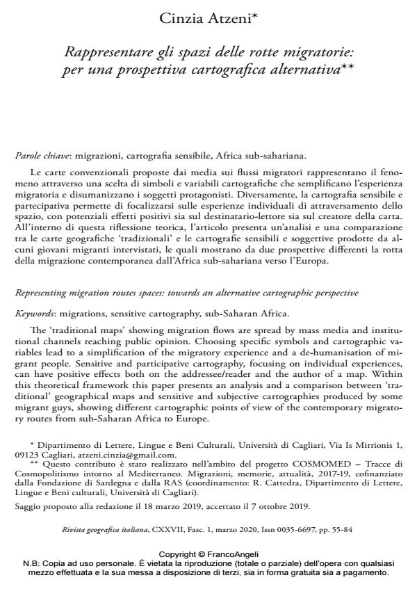
The ‘traditional maps’ showing migration flows are spread by mass media and institutional channels reaching public opinion. Choosing specific symbols and cartographic variables lead to a simplification of the migratory experience and a de-humanisation of migrant people. Sensitive and participative cartography, focusing on individual experiences, can have positive effects both on the addressee/reader and the author of a map. Within this theoretical framework this paper presents an analysis and a comparison between ‘traditional’ geographical maps and sensitive and subjective cartographies produced by some migrant guys, showing different cartographic points of view of the contemporary migratory routes from sub-Saharan Africa to Europe.

Keywords: Migrations, sensitive cartography, sub-Saharan Africa.

  1. Bignante E. (2011). Geografia e ricerca visuale. Strumenti e metodi. Roma-Bari: Laterza.
  2. Bord J.P. (1995). La carte, outil de manipulation. In: Cambrezy L. e de Maximy R., a cura di, La cartographie en debat. Representer ou convaincre. Paris: Editions Karthala et Orstom.
  3. Brambilla C. (2016). Borderscaping: Estetica/Politica/Trans-territorialita. Nuove agency geografico-politiche nel Mediterraneo ‘oltre la linea’. Semestrale di Studi e Ricerche di Geografia, 1: 77-90.
  4. Cambrezy L. (1995). De l’information geographique a la representation cartographique.
  5. In: Cambrezy L. e De Maximy R., a cura di, La cartographie en debat. Representer ou convaincre. Paris: Editions Karthala et Orstom.
  6. Casas-Cortes M., Cobarrubias S., Heller C. e Pezzani L. (2017). Clashing Cartographies, Migrating Maps: Mapping and the Politics of Mobility at the External Borders of E.U.rope. ACME: An International Journal for Critical Geographies, 16.1: 1-33.
  7. Ead., Id. e Pickles J. (2014). ‘Good neighbours make good fences’: Seahorse operations, border externalization and extra-territoriality. European Urban and Regional Studies, 23.3: 231-251. https://doi.org/10.1177%2F0969776414541136
  8. Casti E. (1998). L’ordine del mondo e la sua rappresentazione. Semiosi cartografica e autoreferenza. Milano: Unicopli.
  9. Ead., a cura di (2007). Cartografia e progettazione territoriale. Dalle carte coloniali alle carte di piano. Novara: Utet Universita.
  10. Cobarrubias S. (2019). Mapping Illegality: The i‐Map and the Cartopolitics of “Migration Management” at a Distance. Antipode, 51.3: 770-794. -- https://doi.org/10.1111/anti.12512
  11. Cosgrove D. (2008). Cultural cartography: maps and mapping in cultural geography. Annales de Geographie, 2: 159-178.
  12. Debord G. (1955). Introduction a une critique de la geographie urbaine. Les levres nues, 6: 288-292.
  13. Id. (1958). Theory of the Derive. Internationale situationniste, 2.
  14. Gould P. e White R. (1974) Mental Maps. New York: Penguin Books Inc.
  15. Harley J.B. (1988). Maps, Knowledge, and Power. In: Henderson G. e Waterstone M., a cura di, Geographic Thought. A praxis perspective (2009). Londra: Routledge.
  16. Id. (1989). Deconstructing the Map. Cartographica: The international journal for geographic information and geovisualization, 26.2: 1-20. DOI: 10.3138/E635-7827-1757-9T5
  17. Lynch K. (1960). Image of the city. Cambridge: MIT Press.
  18. Mekdjian S., Szary A.L.A., Moreau M., Nasruddin G., Deme M., Houbey L. e Guillemin C. (2014). Figurer les entre-deux migratoires. Pratiques cartographiques experimentales entre chercheurs, artistes et voyageurs. Carnets des geographes, 7. -- Testo disponibile al sito: https://journals.openedition.org/cdg/790
  19. Memoli M. (2005). La citta immaginata: spazi sociali, luoghi, rappresentazioni a Salvador de Bahia. Milano: FrancoAngeli.
  20. Olmedo E. (2011). Cartographie sensible, emotions et imaginaire. -- Testo disponibile al sito: https://visionscarto.net/cartographie-sensible
  21. Ead. (2015). Cartographie sensible. Tracer une geographie du vecu par la recherche-action, these de doctorat en geographie. Universite Paris 1 Pantheon-Sorbonne. – Testo disponibile al sito: www.theses.fr/s90439
  22. Ead. e Roux J.M. (2014a). Conceptualite et sensibilite dans la carte sensible (1/2). Implications Philosophiques. -- Testo disponibile al sito: www.implications-philosophiques.org/actualite/une/conceptualite-et-sensibilite-dans-la-carte-sensible-12
  23. Ead., Ead. (2014b). Conceptualite et sensibilite dans la carte sensible (2/2). Implications Philosophiques. -- Testo disponibile al sito: www.implications-philosophiques.org/actualite/une/conceptualite-et-sensibilite-dans-la-carte-sensible-22
  24. Poutignat P. e Streiff-Fenart J. (2016). La prova della soglia: migranti africani tra mobilita e immobilizzazione. Mondi Migranti, 1: 7-18.
  25. Rekacewicz P. (2011). ≪L’enjeu des migrations en Mediterranee. Cartographier les migrations en Mediterranee≫. Intervento presso l’Universite Populaire de l’iReMMo, Parigi, 5 Novembre (Video).
  26. Id. (2013). Cartographie radicale. Le Monde diplomatique. Testo disponibile al sito: www.monde-diplomatique.fr/2013/02/REKACEWICZ/48734
  27. Id. (2014a). Mourir aux portes de l’Europe. Visions cartographiques. -- Testo disponibile al sito: https://visionscarto.net/mourir-aux-portes-de-l-europe
  28. Id. (2014b). La Mediterranee, plus loin que l’horizon. Visions cartographiques, testo disponibile al sito: https://visionscarto.net/la-mediterranee-plus-loin
  29. Id. (2015). ≪Intervento su C(art)ography: Between Art and Politics, GARAGEMCA, Garage – Museum of contemporary art, exhibition “Saving Bruce Lee (A Prologue)≫, Mosca, 17 agosto (Video).
  30. Id. (2016). “Making invisible trend visible – cartography as expression”, UCD –University College Dublin, Dublino, 4 aprile (Video).
  31. Id. e Tratnejek B. (2016). Cartographier les emotions. Carnets des geographes, 9. -- Testo disponibile al sito: https://journals.openedition.org/cdg/687
  32. Saarinen T.F. (1988). Centering of Mental Maps of the World. Discussion Paper 87-7, University of Arizona. Department of Geography, ERIC Institute of Education Sciences.
  33. Tazzioli M. (2015). Which Europe? Migrants’ uneven geographies and counter-mapping at the limits of representation. Movements. Journal for Critical Migration and Border Regime Studies, 1.2: 1-20.
  34. Ead. (2016). Eurosur, Humanitarian Visibility, and (Nearly) Real-time Mapping in the Mediterranean. ACME: An International Journal for Critical Geographies, 15.3: 561-579.
  35. Turco A. (2016). Da Oikos a Polis. Di cosa parliamo quando parliamo di Geografia Politica. Semestrale di Studi e Ricerche di Geografia, 28.1: 7-17. DOI: 10.13133/1125-5218.1506
  36. Van Houtum H. e Lacy R.B. (2019). ‘Ceci n’est pas la migration’: countering the cunning cartopolitics of the Frontex migration map. In: Mitchell K. e Jones R., a cura di, Handbook on Critical Geographies of Migration. Cheltenham: Edward Elgar Publishing.
  37. Wood D. (2010). Lynch Debord: About Two Psychogeographies. Cartographica: The international journal for geographic information and geovisualization, 45.3: 185-199.
  38. Id. e Fels J. (2008). The Nature of Maps: Cartographic Constructions of the Natural World. Cartographica: The international journal for geographic information and geovisualization, 43.3: 189-202.

  • Indagare le recenti migrazioni trans-mediterranee. Metodi e fonti di ricerca a partire dal contesto dell’accoglienza in Sardegna Cinzia Atzeni, in Geography Notebooks 8/2021
    DOI: 10.7358/gn-2021-002-atze

Cinzia Atzeni, Rappresentare gli spazi delle rotte migratorie: per una prospettiva cartografica alternativa in "RIVISTA GEOGRAFICA ITALIANA" 1/2020, pp 55-84, DOI: 10.3280/RGI2020-001003