Crimine, salute e contesto spaziale: dal crime mapping al geographic profiling
Journal title SALUTE E SOCIETÀ
Author/s Andrea Antonilli
Online First 10/23/2024 Issue 2025/1
Language Italian Pages 16 P. 1-16 File size 203 KB
DOI 10.3280/SES2024-17775
DOI is like a bar code for intellectual property: to have more infomation
click here
Below, you can see the article first page
If you want to buy this article in PDF format, you can do it, following the instructions to buy download credits

FrancoAngeli is member of Publishers International Linking Association, Inc (PILA), a not-for-profit association which run the CrossRef service enabling links to and from online scholarly content.
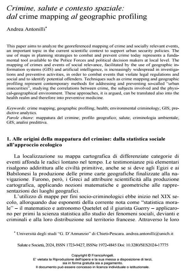
This paper aims to analyze the georeferenced mapping of crime and socially relevant events, an important topic in the current scientific context to support urban security policies. The use of maps in planning strategies to combat and prevent crime today represents a fundamental tool available to the Police Forces and political decision makers at local level. The mapping of crimes and events of social relevance, facilitated by the use of geographic information systems (GIS) and artificial intelligence, is increasingly widespread in investigations and preventive activities, in order to combat events that violate legal regulations and social and to identify potential offenders. Techniques such as crime mapping and geographic profiling represent contemporary methods for addressing and preventing so-called “urban insecurities”, studying the correlations between crime, the subjects involved and the physical-geographical environment. These approaches, it is argued, can be translated also into the health realm and therefore into preventive medicine.
Keywords: crime mapping; geographic profiling; health; environmental criminology; GIS; predictive analytics.
Andrea Antonilli, Crimine, salute e contesto spaziale: dal crime mapping al geographic profiling in "SALUTE E SOCIETÀ" 1/2025, pp 1-16, DOI: 10.3280/SES2024-17775